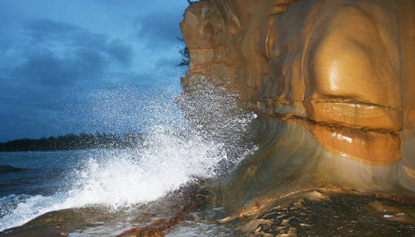
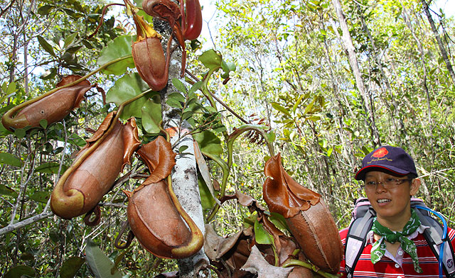
Finally, this is my last stop of Misompuru Homestay. We came to Terongkongan Beach (or Tindakon Dazang Beach) to see the Tindakon cave created by sea erosion. Under the rain, we moved slowly, painfully on 1KM of sandy beach to the end of the beach. The lady inside the photo is Mona, one of the local guides. I used her as a free model so many times that she wanted to poke me with her umbrella. Just kidding.

Click Here to see more photos of Terongkongan Beach >>
Though the cave is our target. The view along the shore is wonderful. I saw some weird rock cut by the wind. The best thing was there was no other people around. We walked freely as if this is our private beach. The guide told me that someone would camp here during the nesting session of sea turtles. They will collect the turtle eggs then kill the mother for her shell and meat as well. It is so depressing to imagine this bloody scene taking place in beautiful beach here.

Click Here to see more photos of Terongkongan Beach >>
There are some spiky odd plants grow there too. Their leaves are sharp. Quite hurt to walk among them.
To let you have an idea, below is the diagram of the Tindakon cave. Actually the cave is a deep hole created by the sea, after many years of “digging” by the sea water. The hole got bigger and deeper and became a cave. At the end, it even digs a “tunnel” and connects to the other side of the hill. There is a big opening above the cave. I’m not sure how the opening was formed. I guess it is because the cave under the hill kept on washing soil away from its bottom. At last it collapsed and became a big hole?

Click Here to see more photos of Terongkongan Beach >>
Before I went there, I told the guides that I wanted to go inside the cave. Immediately I saw the expression of reluctant written on their faces. Then they came out all sort of scary reasons why I should not do it. One said there was fierce animals living inside, another said it was dangerous and slippery… Actually the more they tried to stop me, the more I wanted to try.. Later I learnt that this cave was used as a bomb shelter of Japanese during World War II.
Anyway, we went and checked out the big opening behind the hill first (see below). It is quite steep and about 30 feet deep, very hard to go down with a camera with me.

Click Here to see more photos of Terongkongan Beach >>
The cave is about 30 feet away from us. I used the camera zoom to take the photo below. We could see wave movement in the cave and with a bit of light behind. Obviously, this cave connects to the sea at other side of the hill. I saw fear in the eyes of a guide who mumbled, “so creepy… like there is a ghost inside..” The cave is not really big but can fit one person. I didn’t go inside coz the cave was filled with sea water.

Click Here to see more photos of Terongkongan Beach >>
Then we walked to the other side to see the cave entrance facing the sea. If you look at the photo below, the cave is under the “drain” at the right side. I decided to walk nearer to take a look, hoping that I could see the entrance of the cave. This area is called Tindakon Dazang, which means jumping fairies. According to the legend, the lucky ones would see fairies playing on the rock here and swimming at the beach during full moon.

Click Here to see more photos of Terongkongan Beach >>
After I moved closer, I understood why the guides were so concern. The cave was flooded by sea water. I would be drown if I went inside. But someone did manage to walk through the cave during low tide. It was really not my day.

Click Here to see more photos of Terongkongan Beach >>
The wave was quite strong and the rock was slippery. I had to keep an eye on the sea when I walked to the cave. The height of waves seemed to have timing, 1 feet, 1 feet… then 3 feet. About every 15 minutes, there would be a super big wave nearly 5 feet high. It took me by surprise. When mass volume of water rushed to me, I was freak out and thought I would fall.

Click Here to see more photos of Terongkongan Beach >>
They told me there was a whale stuck inside the cave and died in the past. According to the guides, sometimes the waves were so strong that they created loud noise when they hit the cave opening. They even can see the sea water splash at other end. The villages can hear the sound from a far distance and they will know that the sea is rough.

Click Here to see more photos of Terongkongan Beach >>
Now they have built a traditional longhouse nearby. It is a homestay open to tourists and you can find out more on the Facebook of Tindakon Dazang Beach.
Photos taken in Kudat, Sabah, Malaysia Borneo


did you went into the cave? my last trip there we did went in, but it was musim lumut bah, so a bit stink that time.
Ya, I remember the grassy hills in this area, it’s beautiful.
Not so far from this place, ada small lake tu. very calm and nice too.
TFS
DA> i didn’t go into the cave coz it was filled with the water.
next time i should make you my guide in the next visit to kudat 🙂
You have many great pictures here, my friend. Just love Sabah.
Hi,
Name of the cave is Tindakon Cave. I did my MSc on that cave.The cave was formed due to sea erosion along geological weakness that is a joint.
JM
thx JM, i have corrected the name. did u find anything interesting in the cave?
I entered the cave thru the blowhole. The passage is very narrow. Sorry for oversize visitors. Nothing inside but geologically interesting. Locals believe some spirits dwell inside the cave and they produce loud sound. Actullay, the sound is due to whistling of strong wind. Try going to the top of the hill. One can view majestic view of Sikuati Beach to the north and Torongkongan Beach to the south.
wah..
i want to go over there la..
i never go to dat place before..
Great spot!! Thanks
Hello, your blog is informative and photos are excellent =) May I know what is best time to watch sunset at Kudat?